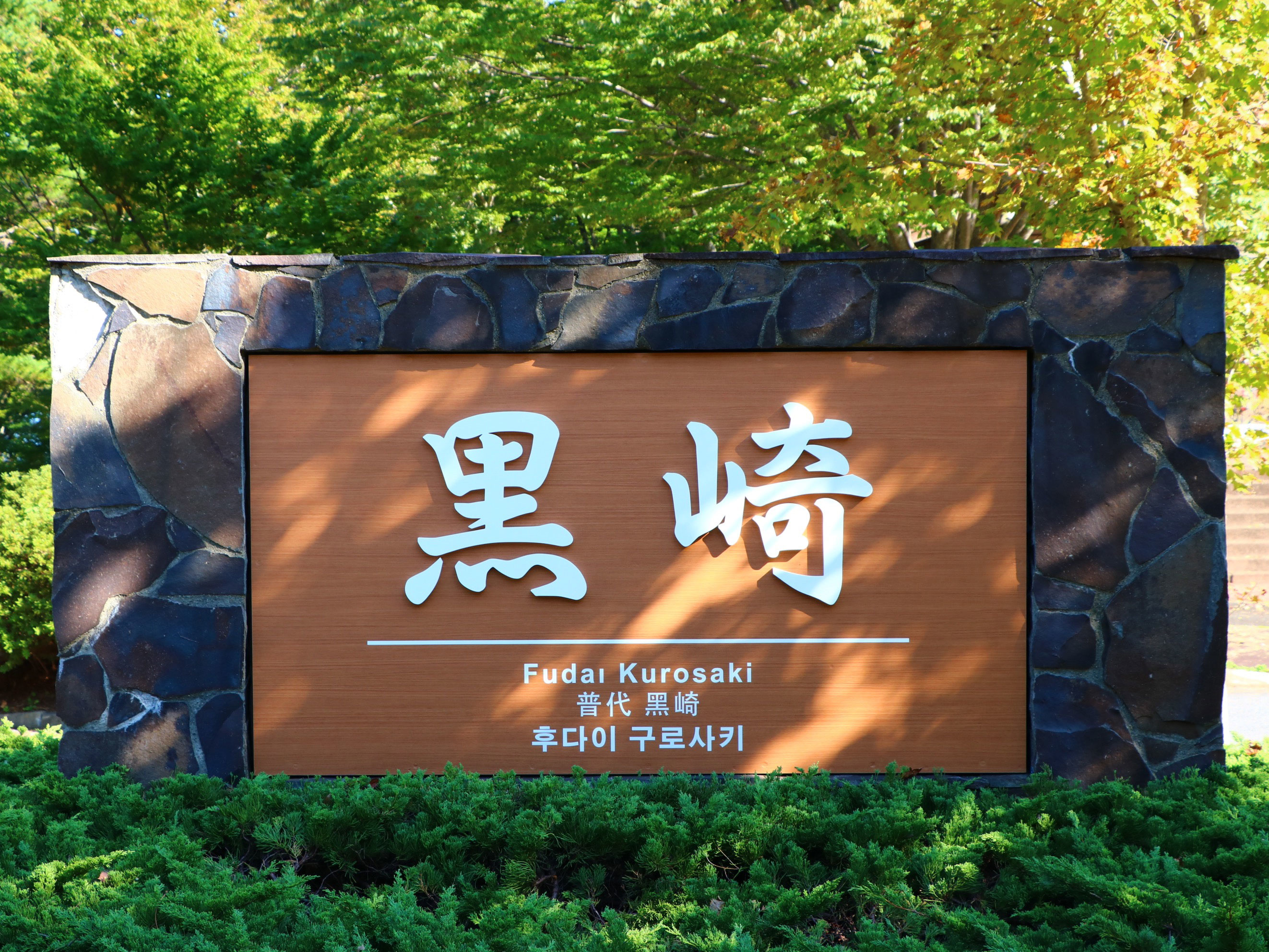
Kurosaki Observation Deck

Kurosaki Observation Deck

Info

Sanriku Railway Futai Station → Fudai Village Bus 15 minutes to Kitayamazaki Observation Deck, bus stop: Kurosaki Observation Deck off, 2 minutes on foot
Route 281.45 from Kunohe IC on Hachinohe Road, 70km 1 hour 30 minutes via Seaside Line
50 units

Spot Category

Tower and Observation Facilities


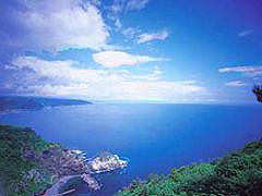
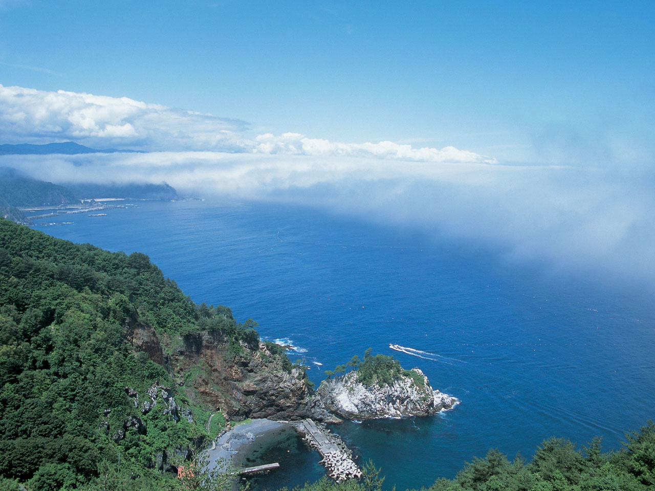
Majestic views full of openness
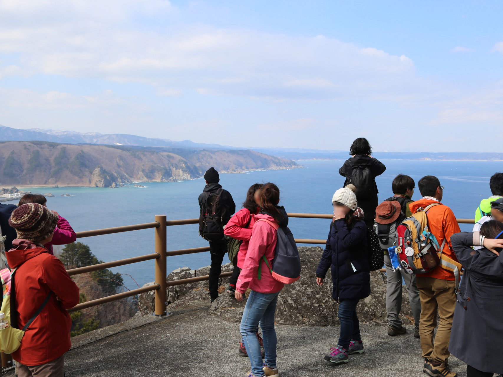

See far with a free telescope

I'm sorry.
The information provided reflects the details available at the time of the survey.
Please note that facility details may change due to the facility’s circumstances, so please check for the latest information before visiting. This content has been translated using machine translation.

Information provided by: JTB Publishing

The content uses an automatic translation service, which is not always accurate.
The translated content may be different from the original meaning, so please understand and use it.

Related Spots

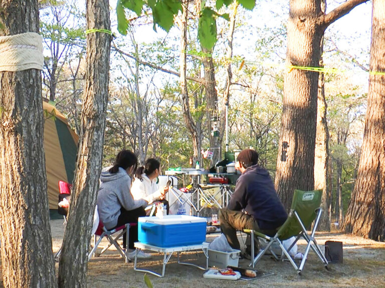
Kurosaki Auto Campground

A cava-like campground with relatively little congestion even in the top season. Reputation in good manners. A quiet campsite on top of a bluff at an altitude of 200m and surrounded by red pine. In the surrounding area, you can also enjoy a walk, such as the waterfall of Ammoura, which has the largest head in Iwate Prefecture, the Kurosaki Observation Deck with a gorgeous view, and the Kurosaki Lighthouse, which is certified as "Love Lighthouse". The use of the campsite is accepted at the adjacent "Kunitakusu Kurosakiso". There is a shop in addition to day bathing.

Mutinaka Kurosaki Lighthouse

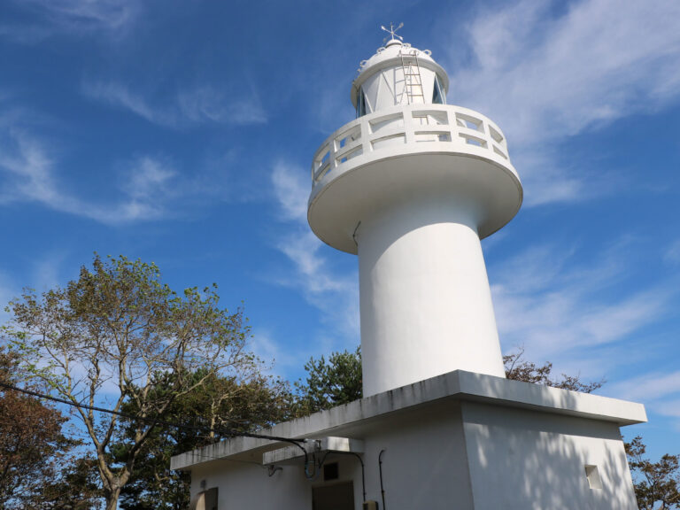
The first year of Reiwa (2019), a lighthouse certified as "Koisuru Lighthouse". Concrete construction stands on a cliff at an altitude of 130m in Kurosaki, which protrudes into the Pacific Ocean. The reach of light is 19.5 nautical miles (about 36km). Kurosaki is a scenic spot for coastal terraces in Sanriku Reconstruction National Park, similar to Kitayamazaki, which is located in Tanohata Village. As a lighthouse on the 40th parallel north, it is paired with the Iridosaki Lighthouse at the northern end of Oka Peninsula, Akita Prefecture on the Sea of Japan side. It has also been selected for "Japan's 50 Lighthouses".

Symbol tower of 40 degrees north latitude

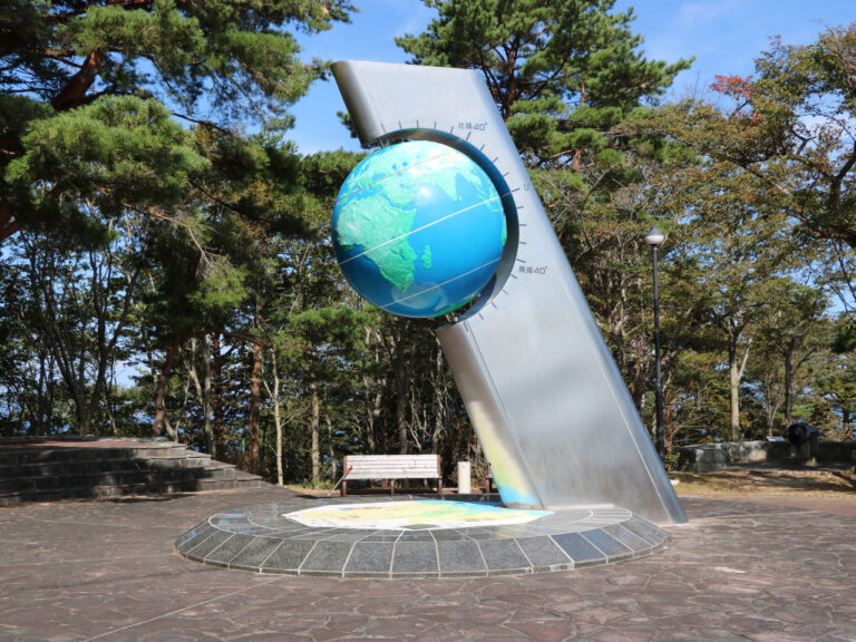
A globe-shaped symbol tower on the 40th parallel north that connects with the world, the globe rotates as it approaches the front, representing the connection to the city on the 40th parallel north of the world; the prosperity of the entire planet and the wish for peace.

Mount Chausu

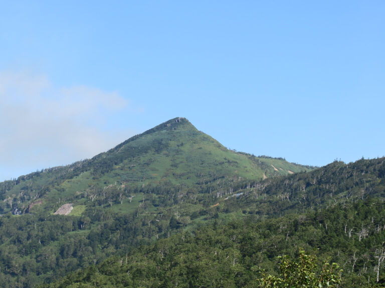
At an altitude of about 1578m. From the summit, you can see the rolling mountains of Hachimantai, making it a place with an outstanding view. From the bus stop, it is 50 minutes up and 40 minutes down. You need to be ready to climb.

Matsukawa Valley

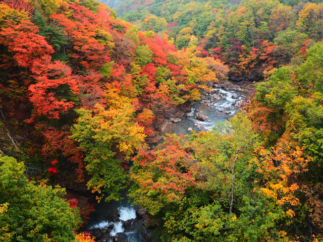
There are many deciduous trees such as beech, oak, maple and maple, and you can enjoy beautiful nature from fresh green to autumn leaves. Mountain stream fishing is from March to September.

Falls of fixed

Naki-taki, who has also been selected for Japan's 100 Taki and Iwate's 20 Meisui. Located in the back of the precincts of the Sakuramatsu Shrine, the approach that follows the Osugi forest is a mysterious atmosphere. The precinct's "curb tree" has become a hot topic as a love power spot. In the middle of the waterfall, which flows from a height of 15m, the stone sculpture of the name is enshrined.

Contact Us: Business & Personal Inquiries

By proceeding, you agree to our Terms of Use And confirm you have read our Privacy Policy .

Notes

· We are available for inquiries 24 hours a day. Responses will be provided between 9:00 and 18:00 (including weekends, public holidays, and year-end/New Year holidays).
· Depending on the nature of your inquiry, it may take some time for us to respond.