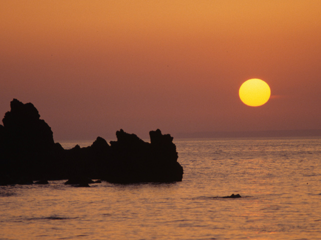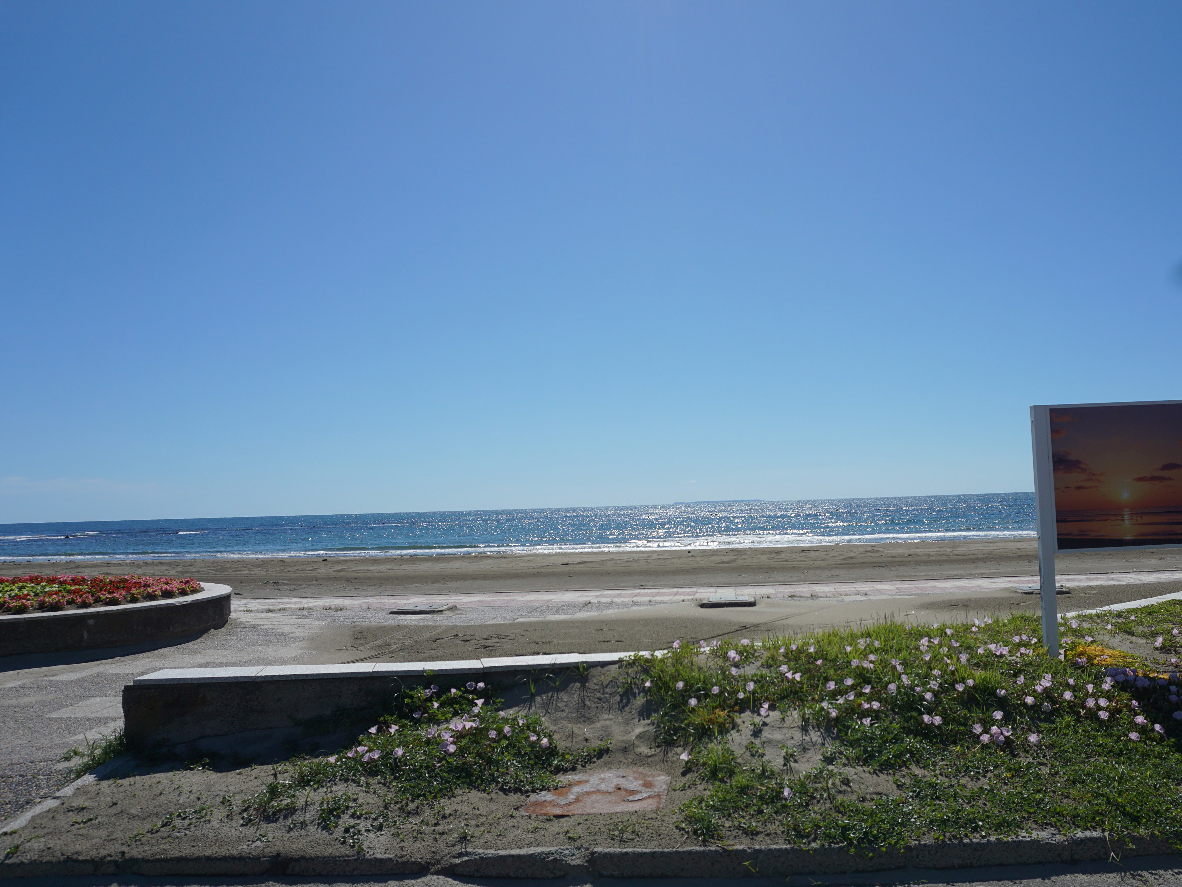
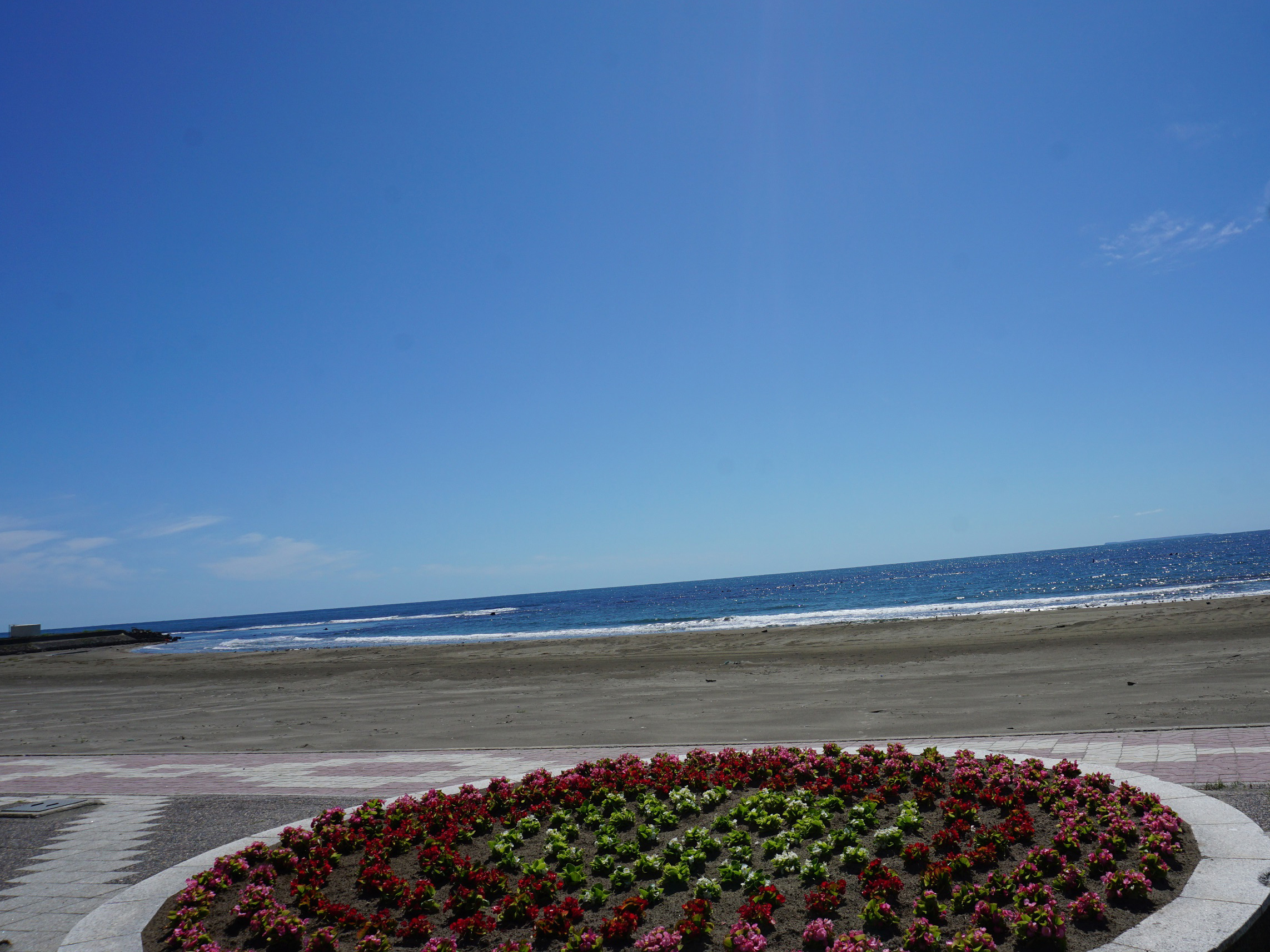
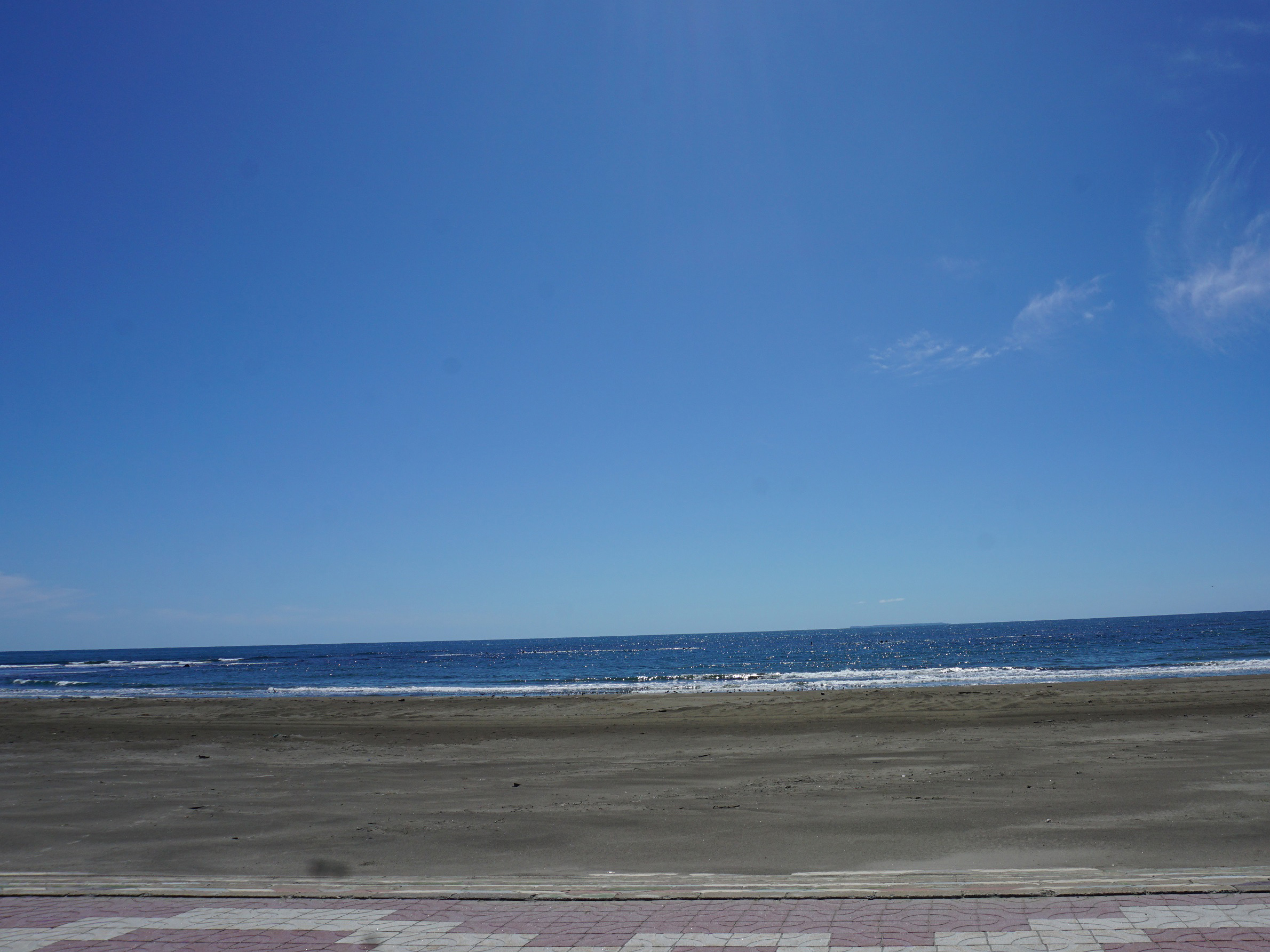
Kisakata Beach

Kisakata Beach

Info

JR Kisakata Station → 10-minute walk
3km 7 minutes from Kisangata IC, Tōhoku-do, Japan; or 6km 10 minutes from Gimpo IC, Tōhoku-do, Japan, via National Route 7
100 units

Business Hours

9-17 (Surveillance and Rescue Station)

Price

Freedom to walk

Spot Category

Bathing and Lake Baths

The information provided reflects the details available at the time of the survey.
Please note that facility details may change due to the facility’s circumstances, so please check for the latest information before visiting. This content has been translated using machine translation.

Information provided by: JTB Publishing

This content uses automatic translation services. Automatic translations may not always be accurate.
Please note that the translated content may differ from the original meaning. We ask for your understanding when using this content.

Related Spots

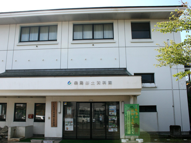
Nikaho City Kisakata Local Museum

You can see the way of the old-fashioned Kisakata by a model of 1 in 825 that reproduces the Kisakata period, and a drawing screen that conveys the old view of Kisakata. Buried trees, which were buried during the 446 BC eruption and dug out in recent years, are also on display. There is a permanent exhibition of materials from Basho "Okuno Hosomichi" relations, and works by a woodblock painter, Shuzo Ikeda, from the former town of Kisakata. It takes 40 minutes.

Misaki Park

It got its name from three of them: Kannonzaki, Ōshizaki and Fudo-zaki. In ancient times, it is said that there was "Ariya Miyaseki [Uyamuya no Seki]", which limited Rikuzen and Uzen, and the steep cliffs continue. The Misakiyama Old Highway, which is extant within the park, was traveled by Matsuo Bashō. There is also an observation deck and a campsite in the park.

Ling Ling Observatory

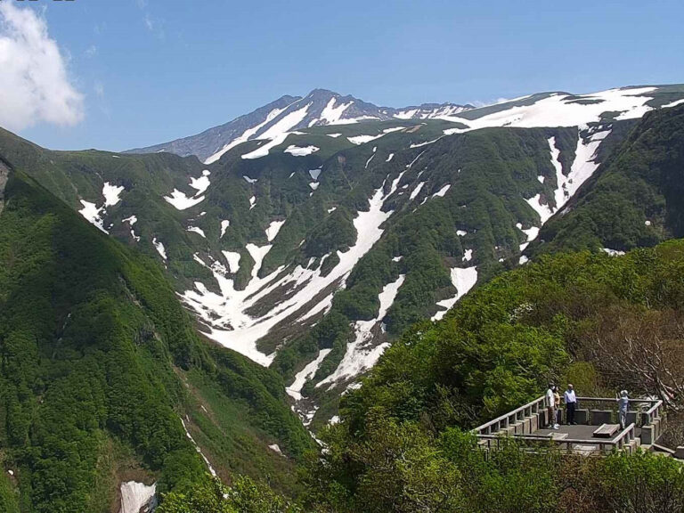
The Lodong Observation Deck is located about 400m walk from the entrance of the "Kisangatakuchi Climbing Route" at the highest point of the Tōkai Blue Line, Tōkai-san Gogo-mee-Lodong (altitude 1150m). You can enjoy the perfect view of the valley and the Sea of Japan as well as Tōkai. The pavement continues to the observatory, and you can go lightly. There is a visitor center and a restaurant around the parking lot at the entrance of the climbing route, which is full of tourists looking for views as well as hikers.

Saihoji Temple

A temple of the Soto sect adjacent to the Heijo-Yoshida Castle, which was built in the plain part of the southern central Yokote basin. In the precincts, Shirasan-do, a guardian deity, and Kannon-do are enshrined, and there are the Onodera Successive Sōdō Endoryo Pagoda, which was built in the sixth generation of Kyoho 3 (1718). Cremation and burial of pets is also received.

Kimura-ya

"Mata Hata Pai" is popular as a souvenir of Akita. In addition, sweets with the motif of the kamakura of Yokote are also well received. The store architecture is listed as a registered tangible cultural property.

Samurai House Street

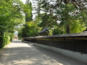
The area across the school bridge over the Yokote River. Because there was a branch of Satake in Yokote, the town of the samurai town where his vassals lived remains. It is still used as a residence today, and the inside cannot be toured.

Contact Us: Business & Personal Inquiries

By proceeding, you agree to our Terms of Use And confirm you have read our Privacy Policy .

Notes

· We are available for inquiries 24 hours a day. Responses will be provided between 9:00 and 18:00 (including weekends, public holidays, and year-end/New Year holidays).
· Depending on the nature of your inquiry, it may take some time for us to respond.