![]()

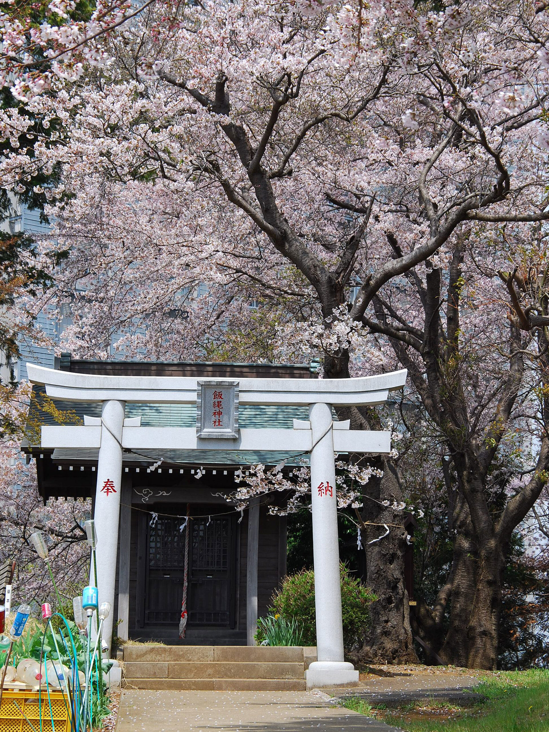
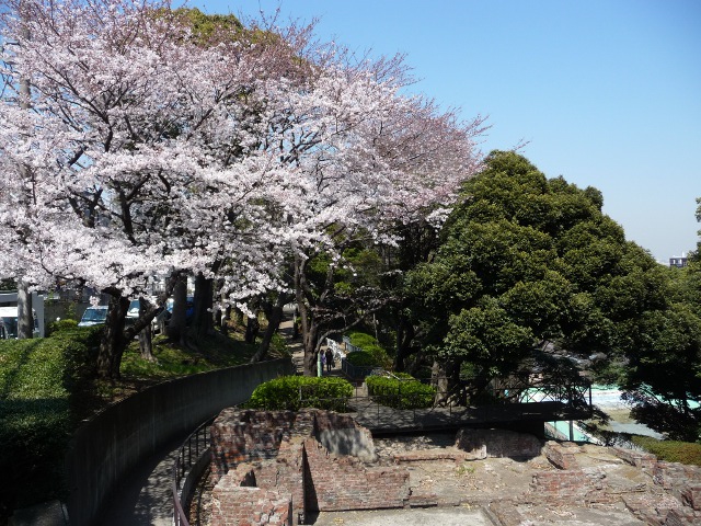
Mount Takao
It is located at the westernmost point of Green Ward, Yokohama, with the highest elevation of the mountain in the ward. On the top of the mountain, "Iizuna [Izuna] Shrine", a god of sericulture known locally as "Takao-sama", is enshrined, and a festival is held every year in early April by the local residents' goshiko. Although it has an altitude of about 100m, it is designated as a green ward heritage site, with the view of Mt. Fuji, the Tanzawa Mountains, and the mountains of Chichibu. In addition, it is one of the Nagatsuda Tokkei as "Takaobosetsu" in the image of a mountain with snow in the distance. In 1882, the first triangle point was installed, and the creation of a modern map of Japan with latitude and longitude began here. Some have said that the Eastern Conquest of Yamato Takeru, who departed Nara around 335 AD (around 97 AD in Nihon Shoki), stopped by.