North Daitō Island

North Daitō Island

Info

Spot Category

Island

The information provided reflects the details available at the time of the survey.
Please note that facility details may change due to the facility’s circumstances, so please check for the latest information before visiting. This content has been translated using machine translation.

Information provided by: JTB Publishing

The content uses an automatic translation service, which is not always accurate.
The translated content may be different from the original meaning, so please understand and use it.

Related Spots

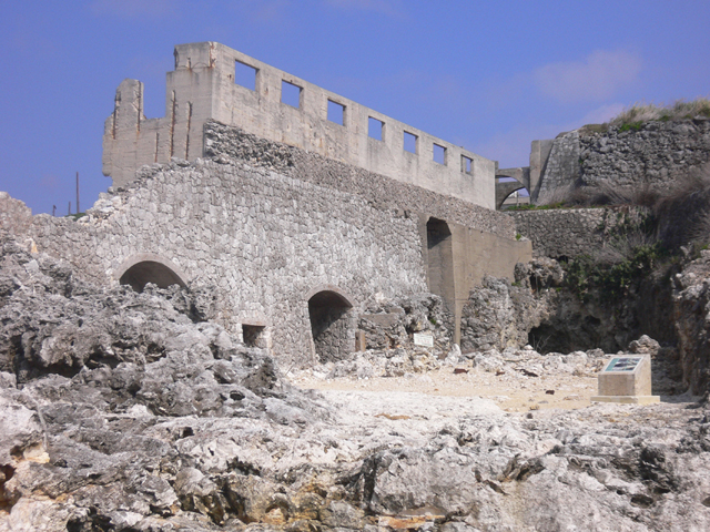
Phosphorite reservoir

In front of the west port is the site of a phosphorous ore mining business that operated until 1950. The brick building was the place where the ore was dried, the building on the left was the storage building. Phosphorite, which was purified and dried here, was carried by a trolley to the western port and was carried out to the outside of Hokidaitō. Phosphorite mining operations reached their height before the war, and the island's population was over 2000, it said. It has been designated as a National Historic Site.

Long Act

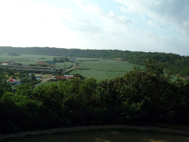
On the outer perimeter of the island of Beitaitō, there is a hill known as the curtain [Hagu], which surrounds the inland part in a ring. The inner side of the curtain is called makushita [makushita] and the coastal side is called makujo [makue], while makushita is protected from wind and tide by the curtain. There is a curtain that extends about 1200m east and west on the island of Beidaitō, and is a carved precipice of limestone, known as the long curtain. The Daitō archipelago has its own vegetation, but among them, the plant communities that grow in the Changmaku area, endemic species such as the daito wadan and the daito wadan, as well as valuable species in the study of the vegetation distribution, such as the northern wagate, have been designated as national natural monuments.

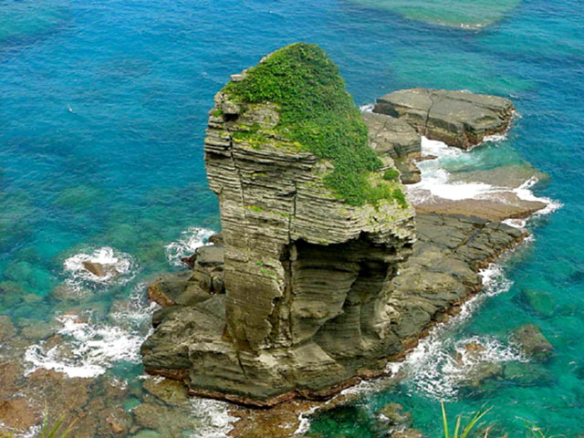
Tachin rock

Among the islands of Yonaguni, which are surrounded by sheer cliffs, the east-south is the area with the most severe and masculine landscapes. It is dotted with strange rocks that have been created over time due to the rough open sea. Close to Higashizaki, there is the Sannine stand, which shows the fault, which is divided into several layers, as a rock face. From the observation deck, the warship rock, which looks like a warship as its name suggests, is still washed by the waves. About a five-minute walk from Saint-Ninudai, there is a standing rock with a legend that a young man who could no longer descend from the top of the rock was helped by God.

Roaring Falls

A waterfall with a height of about 20m appears when you drive about 5 minutes into the mountains from the National Highway No. 58 Ikuta intersection.

Nakamura Family House

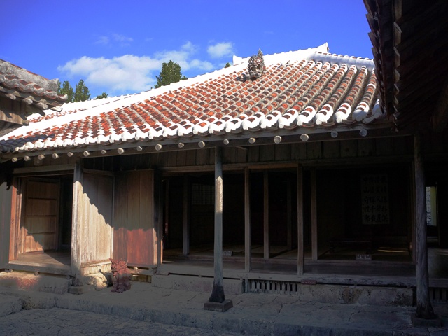
It is a royal farm house built about 280 years ago, and has been spared the war disaster of the Okinawa War to completely leave the private house structure of the Ryukyu Dynasty period. Since he was a local head of state around the year of Kyoho 10 (1720), he also has a stately status as a form of a shabby house. Other features include kitchens with low roofs to use the attic called tungwa for storage, and pig huts called fools. The influence of medieval Japanese houses and Chinese architecture can be seen everywhere, telling the life of a wealthy farmer in the Ryukyu period.

Contact Us: Business & Personal Inquiries

By proceeding, you agree to our Terms of Use And confirm you have read our Privacy Policy .

Notes

· We are available for inquiries 24 hours a day. Responses will be provided between 9:00 and 18:00 (including weekends, public holidays, and year-end/New Year holidays).
· Depending on the nature of your inquiry, it may take some time for us to respond.