Archives: Travel Post

Nose Visitor Center of Mount Oze

The Nose Visitor Center of Ozeyama is located at the entrance of Ozegahara. Staff are present at the counter to provide information about Ozeyama's nature. Daily nature information collected by staff is posted in the hall, so I would like to stop by before the walk of Ozegahara.

Ichinose Resting Place

A small rest area that stands at about the halfway point between Oshimizu and Ozenuma. There is a toilet and a water station, benches and tables are set aside, and Katashinagawa flows right next to it. Perfect for taking a break.

Twelve Bends

The steep slope just above Fujimi is too tight to climb straight, so it is a zigzag-zag-turned road down the mountainside. Generally, it is called twelve turns, and is often the place name as it is. In the Oze area, besides this Fujimi-shita, the same place name can be found in the area about 20 minutes down the Yagisawa Road from Fujimi-toge and directly under Miharu Sanpei on the way from Oshimizu to Oze-numa.

Mountain-nosed plant research fair

The facility used a moor at the foot of Mount Shibutsuyama from Yamanohana to the southern bank of the Nekomata River. On a tree path with a total length of 2km, which is circled around, a variety of moor plants are allowed to bloom from season to season, including water petrel, ryukinka, cotton sedge, and nickouki sedge. Most of the oze moor plants have been collected and can be seen in about 40 minutes.

Cow neck

At the border between Ueda-yo and Nakadashiro in Osegahara, there is a place known as the Ushoku, where a corner of the foot of Ayamedaira has gone inside the moor. There are various theories, such as the shape of Koyama that overhangs the marsh is like a cow's neck when viewed from the side, and when a huge cow lay down in Osegahara, the butt was called Numajiri and the neck came around here.

Osegehara

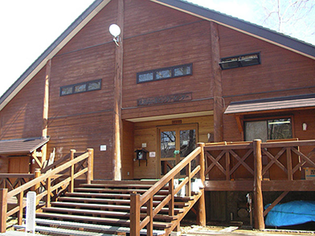
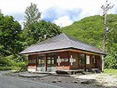
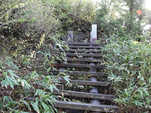
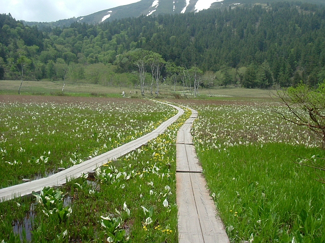
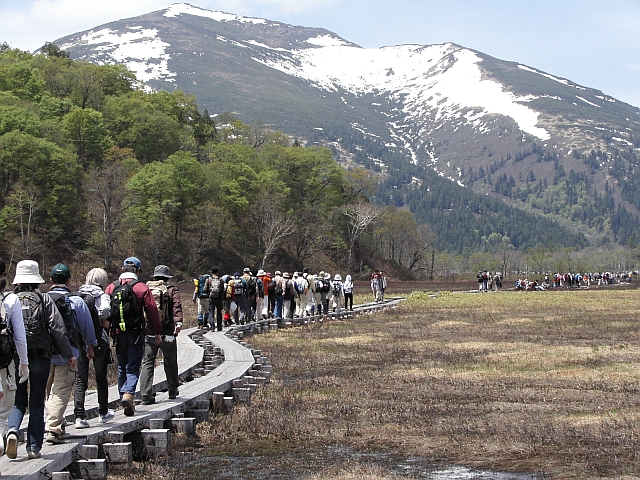
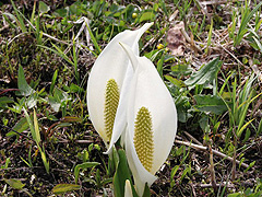
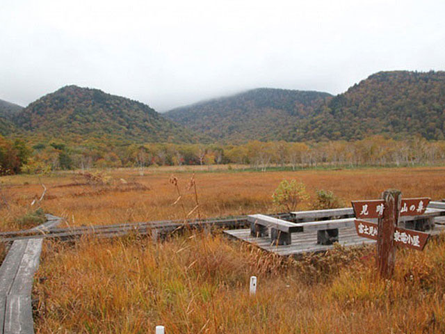
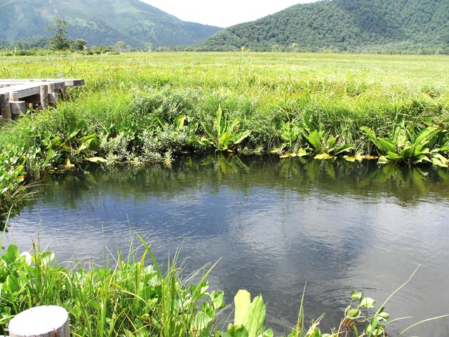
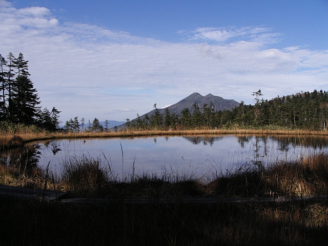
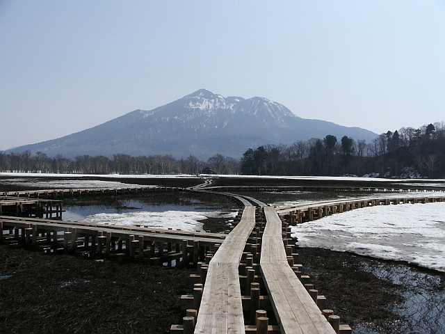
Oze National Park, which spans four prefectures: Tochigi, Gunma, Fukushima, and Niigata. If you are going to Oze in Mizubashou for the first time, we recommend a walk from Hatomachi Pass to Ryūgū. It is a wooden path of about 3.3km that goes through a forest of beech forest, with a visitor center and a national dormitory at the western end. There are many hikers, and there are also mountain huts, rest areas, toilets, and benches in the middle of the course. Even for beginners, it is safe, but do not forget to take measures to protect the cold and rain in preparation for the sudden change of weather only in mountainous areas. From the beginning of November to the end of April, it is impossible to enter the mountain due to closure on the road in winter.

Longgong Crossroads

Even in Osegahara, which is about 6km and long east-west, in the central part of Nakatashiro, the north-south mountain range is retreating behind each other, and a spacious moor about 1km north-south stretches. Just around that area is crossed by a wooden road that extends east-west from the Ushikou branch to the Shimodashiro direction, and a north-south wooden road that runs from the Tōden-hut branch to the Fujimi Pass. A number of benches have been set up around this crossroad, named Longgong Crossroads after the nearby Longgong Karst, so that luggage can be placed and paused. A wide variety of moor plants are growing, and people who are busy with sketching and photography are always busy.

Longya karst

There is a pond tang called Longgong Karst near Longgong Crossroads. A large amount of water is constantly flowing into the pond on the right towards the crossroads, but there is no place to flow. Chitong is full of water, but the water does not overflow around. On the opposite side of the marsh on the left, there is a pond that is always full of water, even though the water does not flow from anywhere. In fact, these two ponds are connected by an eroded tunnel, and the water flows through them. The water flowing under the moor was thought to be connected to the dragon castle on the seabed, and it came to be said to be the dragon palace.

Fujimi Tashiro

The road leading from the square of Fujimi Hut to Ayamehira quickly becomes a stepped climb, and a small moor extends over the top. Here is Fujimi Tashiro, and there is a small pond at the end, and the peak of Mount Hiyunke peeking across the pond. It is a good camera point to be seen in close proximity. A wooden path is maintained around the pond, and you can take pictures slowly.

Nakadashiro

After crossing the Uenohori River and passing the cow neck, the view opens and a large moor opens up. Nakatashiro is the central part of Osegahara from the Ueno-Ohori River to the Numajiri River. Chidang is also large and has many types of flowers. It is also excellent in composition, such as Mount Shibutsu, Mount Kagetsuyama, the ridge line of Ayamedaira, and Mount Hitigke, and has many shutter points.

Contact Us: Business & Personal Inquiries

By proceeding, you agree to our Terms of Use And confirm you have read our Privacy Policy .

Notes

· We are available for inquiries 24 hours a day. Responses will be provided between 9:00 and 18:00 (including weekends, public holidays, and year-end/New Year holidays).
· Depending on the nature of your inquiry, it may take some time for us to respond.

RURUBU & ALL WAY JAPAN
Privacy Overview

This website uses cookies so that we can provide you with the best user experience possible. Cookie information is stored in your browser and performs functions such as recognising you when you return to our website and helping our team to understand which sections of the website you find most interesting and useful.